The Desert
It’s the evening of the 114th day on the trail, and I am worried about tomorrow.
Where the Mountains Meet the Desert
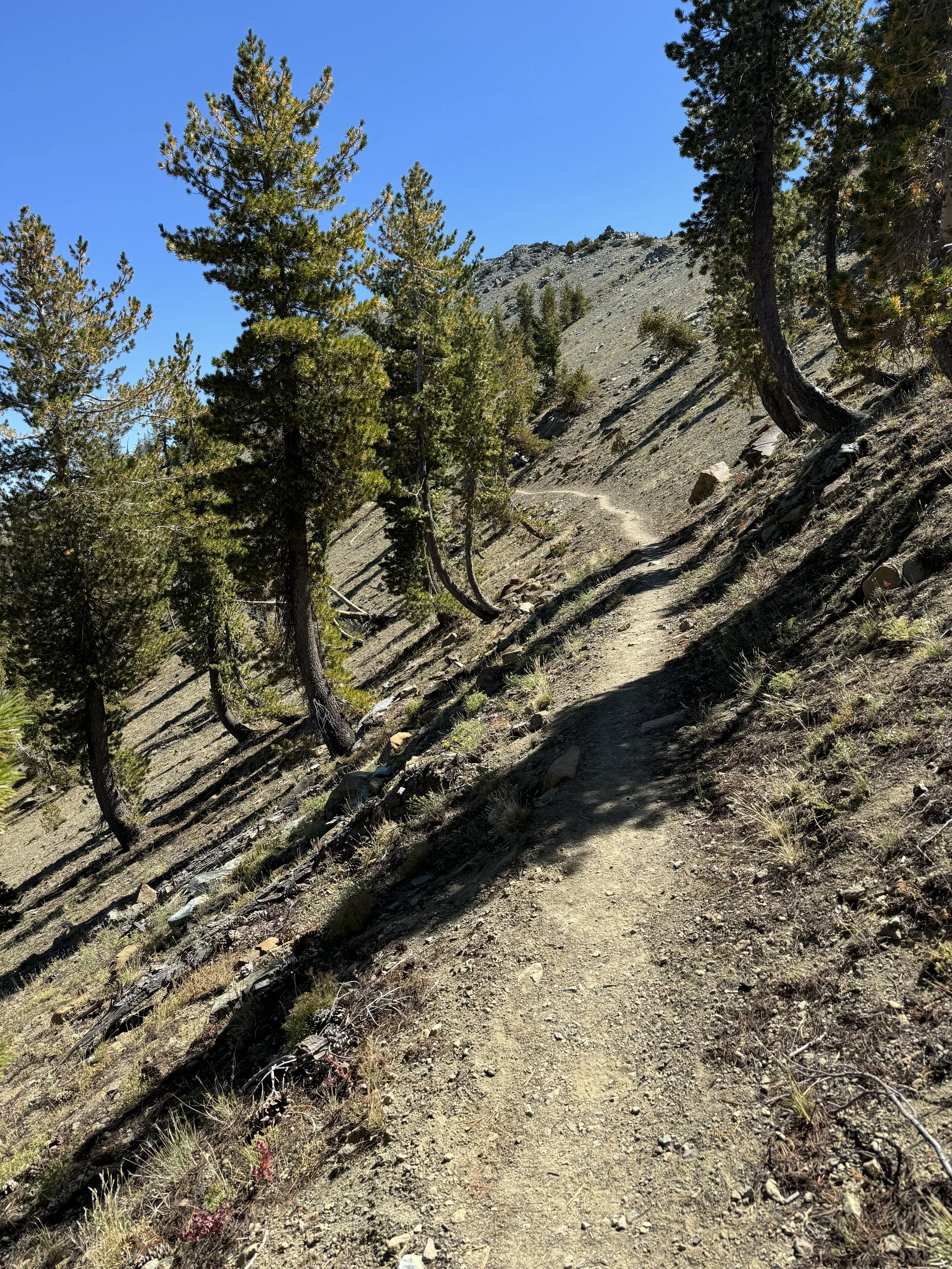
The stretch between Kennedy Meadows South and Tehachapi is 135 miles and looks a lot like you would expect the offspring of mountains and desert to look. The total elevation gain in this section is over 26,000 feet,
The Trail Will Provide
This trail just doesn’t get any easier physically, emotionally or logistically. I am a day and a half away from Kennedy Meadows South, the official end of the Sierra and beginning of the desert section.
The Last SOBO in the Sierras
I do not want to rush through the Sierra. This is one of the most beautiful and amazing places I’ve ever been. Yet, I wake at 5 AM. I think I am taking my time, relaxing and enjoying my coffee and packing up slowly, but I’m out of camp at 6:15, and it’s just barely light enough to hike without a headlamp.
Muir Pass
Today is October 1, three full calendar months since I began this journey, and I still love camping. I love getting to camp and setting up my tent, blowing up my pad and fluffing out my sleeping bag. I love cooking and eating dinner and organizing my gear and tidying my camp and getting everything ready for bed.
Spooked on Day 83
Joe drove me back to the trail on a Friday after the storm had passed to exactly the place where I had left off Tuesday afternoon. Joe was an Uber driver we met by chance who had given us his phone number and invited us to call him personally for rides if we needed anything. An unofficial Trail Angel, he had rescued me before the storm and even secured me a great deal on a hotel room
Trail Magic
I need to get from Burney, California to Quincy, California to get around an area that has suffered a severe fire and has been reduced to ashes. How do you get from one small town to another small town in a country with poor infrastructure and pitiful public transportation options when you are a PCT hiker not familiar with the area?
Hike Your Own Hike
Have I mentioned that one of the hardest parts of the PCT is town? I noticed this right away with the first town of Stehekin, and it has continued to be true for me at almost every town I have visited. Towns are necessary for resupply of food, personal hygiene, laundry, recharging electronics, and getting ice cream.
Getting out of Burney
Every journey has its low point. I am certainly hoping that I just had mine. The 250 miles leading up to Burney had worn me down emotionally and physically. It was an insidious process. At first, it was a night of camping alone, but that turned into section of camping alone, then two sections, then three.
100 Miles of Solitude
Waking up in the small town of Dunsmuir, California, I swing my feet to the floor to walk to the bathroom but immediately sit back down in pain. My feet feel like the bones are broken and perhaps there are also shards of glass on the floor. I carefully try again and end up waddling, flat footed, to the bathroom and then quickly back to bed.
Tracks
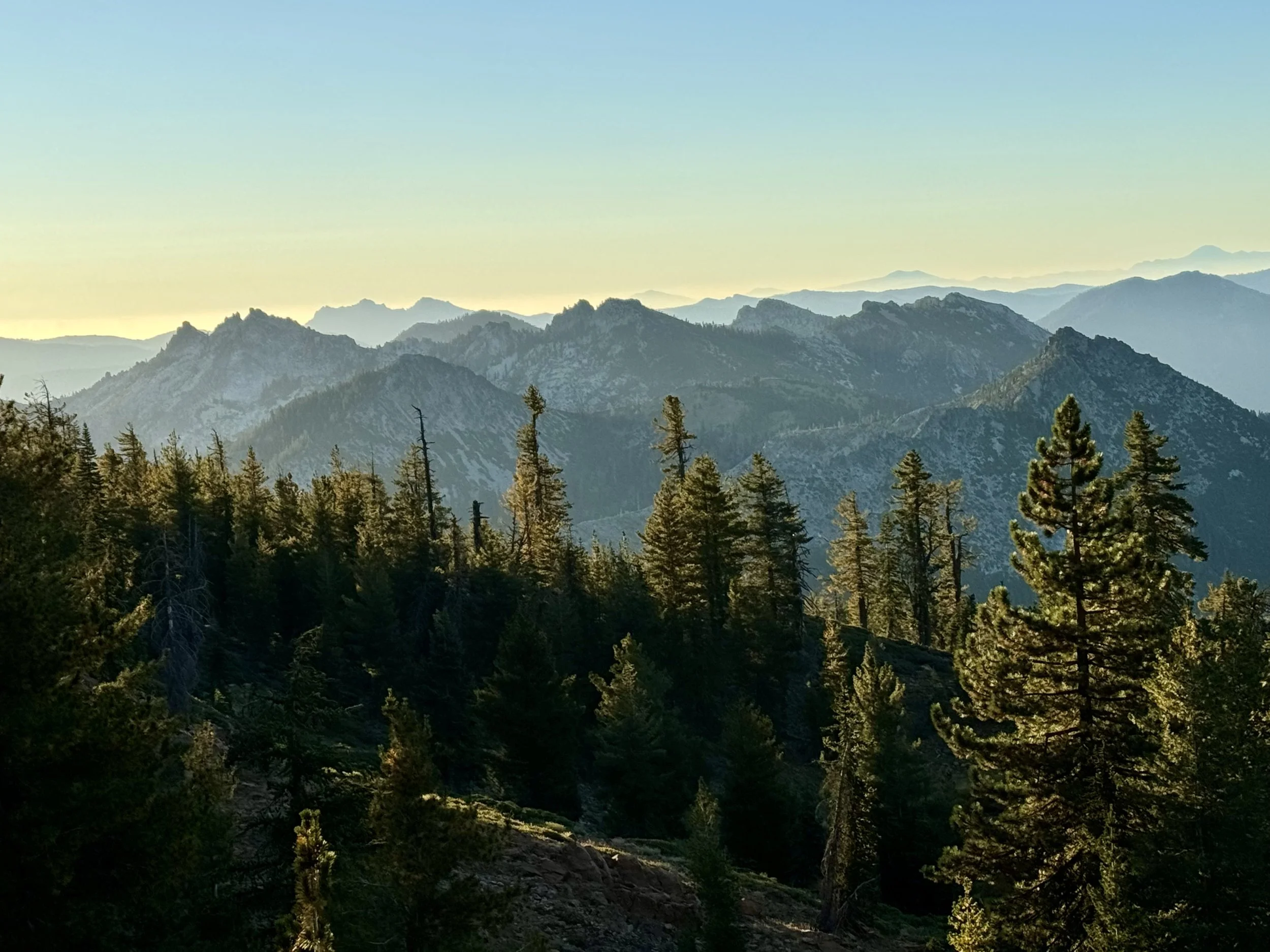
My pace has slowed considerably and occasionally I think I could be described as staggering. I have three more miles to go of this 24 mile day which has been absolutely beautiful. Northern California looks more like what I was expecting to see in the Sierra Nevada mountains with steep ridges, jagged peaks, steep climbs and descents. For some reason I was expecting the rolling hills of wine country in Northern California, but that is not what it’s like at all.
Notes from Southern Oregon
As we walk farther and farther south through Oregon, we get closer and closer to the time that Ian has to leave me. Thinking about hiking alone again feels like a whole new beginning, and saying goodbye to Ian, in this case for about nine months, will be really hard. We have hardly seen a single SOBO since we left Timberline Lodge.
Saying Goodbye
I’ve been hiking about an hour and a half this morning, which means, if I’m lucky, I may have gone 4 miles of the 10 mile climb I have ahead of me. This will be the largest elevation gain of any single day since I’ve been on the trail, nearly 6000 feet climbing out of Seiad Valley.
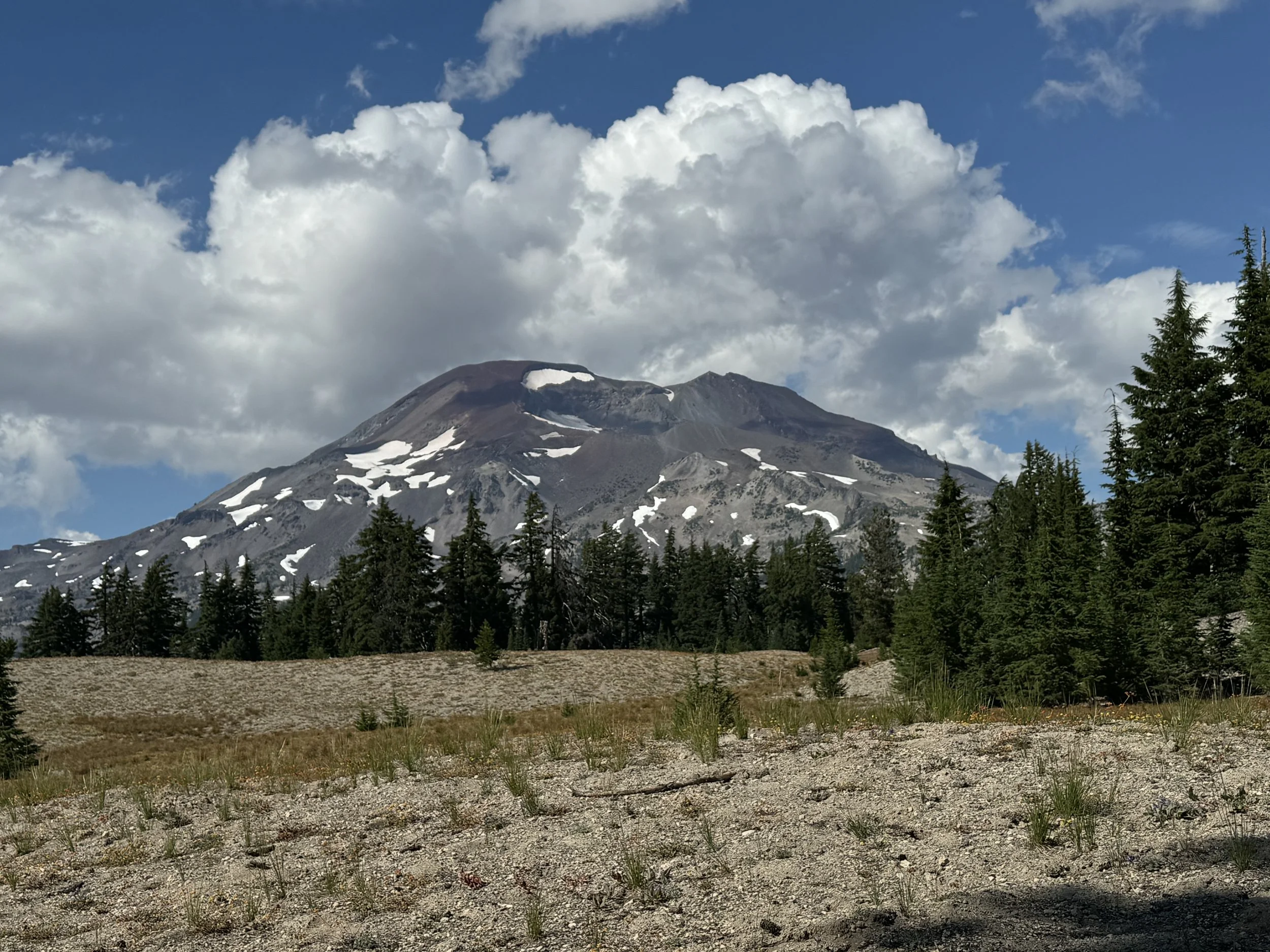
Side Quest: South Sister
Head down and breathing hard, I am staring straight down at my own shadow and the steep trail before me with the bright morning sun at my back. After hiking all day yesterday past North, Middle and South Sister without a view of any of them because of fog and clouds, we have decided on a side quest.
The Highs and the Lows
Today the trail starts out with the 2000 foot climb and then, after a little meandering, a 3500 foot descent. This is the way it has been in Washington. The trail goes up and then back down again, unless it goes down and then back up again.
Trail Day 31
I am leaving Trout Lake, a small community of about 600 year-round residents , which has opened itself wholeheartedly to thru-hikers. There is a generous team of drivers taking hikers from the trailhead to the small town and back at least three times a day. My trail family and I came in yesterday soaking wet from our first 24 hours of rain on the trail.

